Rolavia

TLSInstrument

Range Check

Pick a departure airport and an aircraft. The map draws the practical range ring and lists every destination in the Rolavia airport data that the aircraft reaches nonstop, with distance and flight time.
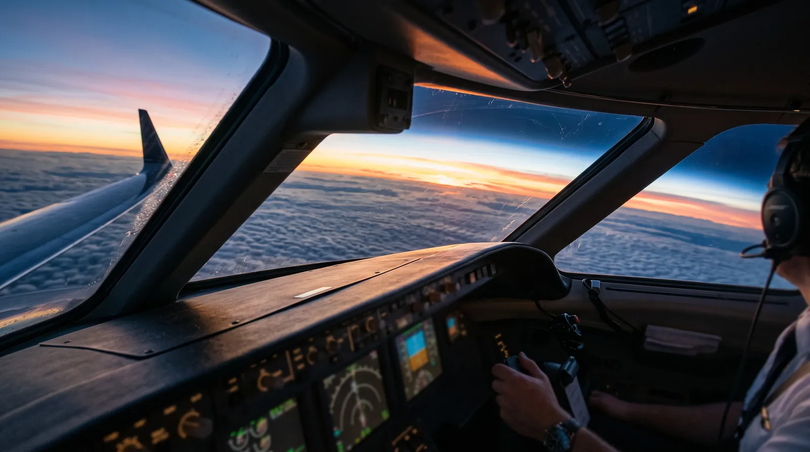

View from a jet cockpit over a sea of clouds at sunriseAI generated

How it works

  • The ring shows 85 per cent of the published range, a common planning allowance for winds and reserves.
  • Destinations are marked in reach when the great circle distance plus 5 per cent routing fits inside that ring and the runway is longer than the takeoff field length.
  • The airport list covers the business aviation airports Rolavia writes about; it is not a complete database.

Rounded figures, autumn 2026. Indicative only, never a quote or an operational flight plan.